Before Wayfinding Maps, How Cities Marked Routes
Before wayfinding maps, cities used landmarks, street names, and spoken directions to help people find their way. See how these cues worked together.
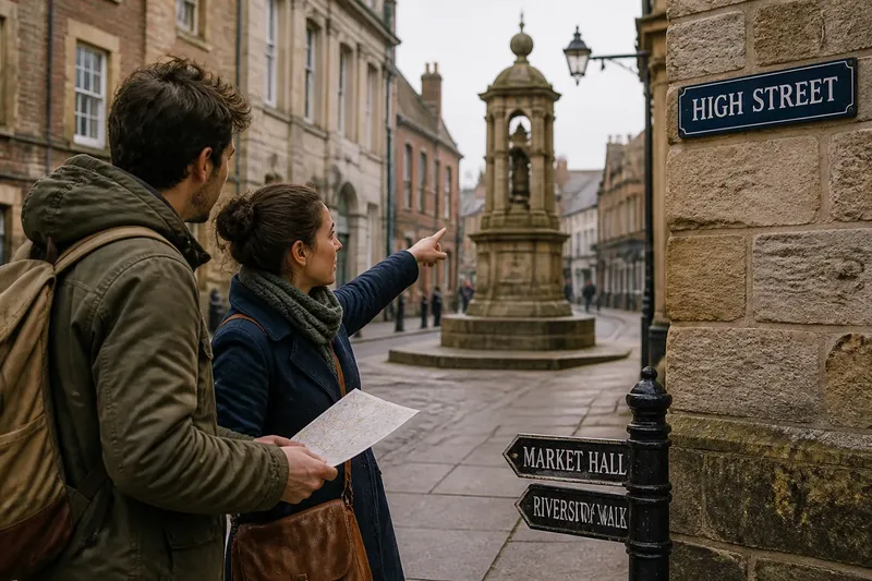
How did you find an unfamiliar destination before wayfinding maps? You followed named streets, recognized prominent buildings, read posted signs, or asked someone who knew the route. In many cities, those clues worked together: a street name narrowed the choice, a familiar landmark confirmed the location, and conversation filled in what the signs left out.
These older methods were not a single system waiting to be replaced. They grew from the city’s own features and habits, from street-name plates to meeting points people could describe. Their history shows how route knowledge became public: first through features people could recognize, then through signs and maps that made directions easier to share with strangers.
Street Names And Markers
Street names turned local geography into a shared vocabulary. A direction such as “follow Broad Street toward the river” linked a named route to a feature people could recognize. A plaque at a corner then helped a traveler confirm the street rather than relying on memory alone.
Names could reflect a destination, a local feature, or a person associated with the area. Whatever their origin, they worked best when people used the same name in conversation and on signs. If a resident called a street by a familiar nickname but the posted plate used another name, a visitor had to translate between the two.
Street markers made this information visible to people moving through the city. They did not explain every turn, but they anchored a route in a name that could be repeated, asked for, and recognized again.
Check that a route’s spoken names match the names shown on its street plates.
Landmarks As Meeting Points
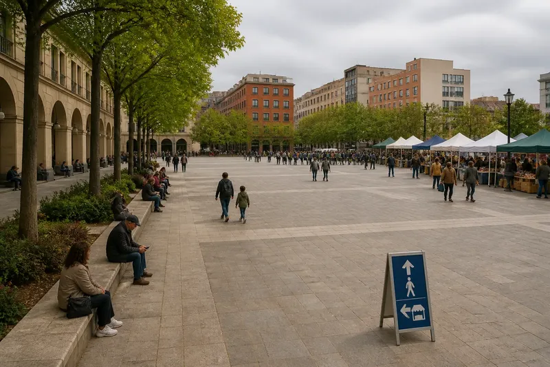
A tower, fountain, bridge, market, or unusual building could make a route easier to remember. “Meet by the clock” gave people a shared point of reference without requiring them to describe every block. Landmarks also helped travelers confirm where they were as they moved through a district.
Not every visible object made a good guide. A useful landmark had to stand out from its surroundings and remain recognizable from the route. A building hidden behind trees might be memorable up close but offer little help to someone approaching from another street.
Landmarks carried local knowledge, but they could be ambiguous. A direction to “turn by the church” may confuse a visitor if the neighborhood has several churches. Naming the street or adding a distinctive detail made the cue more precise.
Conversation On The Route
People passed directions along by asking and answering questions. A resident could explain that a public entrance was around the side, or that a lane continued behind a row of shops. Unlike a fixed marker, spoken guidance could adjust to what the traveler had already understood.
That flexibility depended on finding someone willing and able to help. Language differences, crowds, or uncertainty about whom to ask could make conversation difficult. Spoken directions were useful, but they could not serve as the only source for a destination that many visitors needed to reach independently.
Imagine a visitor asks how to reach a library beside a small square. A passerby names the street, points toward the square’s fountain, and explains that the entrance faces the side lane. The visitor can then match the spoken route to the street plate and landmark; if the fountain is screened from view, the street name still offers a useful clue.
Signs Before Maps
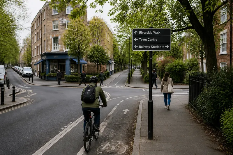
Posted signs made directions available without a conversation. Street plates identified where someone stood; directional signs pointed toward destinations; building signs confirmed that a traveler had arrived. These signs were local tools, not necessarily parts of one coordinated network.
That distinction mattered as cities grew and more people traveled beyond familiar neighborhoods. A sign could answer a specific question, but a collection of signs using inconsistent names or symbols could leave a route hard to follow. Maps helped show relationships across a wider area, while signs connected that plan to places encountered on foot.
For a sign to help, its wording needed to match names people recognized, and its arrow needed to make sense in the surrounding street. A landmark could confirm the location, but the sign supplied the explicit direction.
Which Route Cues Help?
When are landmarks enough?
Landmarks can carry much of a route when they are distinctive and easy to recognize from the traveler’s path. If several streets or entrances look alike, add a street name or clear directional marker.
Why ask for directions?
Conversation can explain local details that signs may not cover, such as a side entrance or a passage through a courtyard. It is a helpful extra source, not a dependable substitute for public directions.
What did street plates do?
Street plates connected a traveler’s location to a name others could use in directions. They were especially helpful when a landmark was unclear or a route crossed several named streets.
How did maps change the route?
Maps showed how streets and destinations related across a larger area, instead of explaining only one nearby turn. Travelers still had to recognize street names, signs, and landmarks on the ground to follow the mapped route.
Choosing Cues For A Route
Different cues answered different questions. A street name established location, a landmark helped with recognition, and conversation supplied detail. Use this quick check to see what a route needs:
- Street-name match: Check whether posted names match the names used in local directions. If they match, keep them consistent on route materials; if they differ, clarify the familiar and official names.
- Landmark visibility: Check whether travelers can see and distinguish the landmark from the route. If they can, use it as a confirmation cue; if they cannot, identify a street or sign they can recognize instead.
- Similar destinations: Check whether nearby buildings or entrances could be mistaken for the destination. If they look alike, add a specific name or entrance description; if they are clearly distinct, a simpler cue may be enough.
- Unusual access: Check whether the route includes a courtyard, side door, or passage that is hard to infer. If it does, provide a direct explanation at the relevant location; if it does not, ordinary street directions may suffice.
- Multiple route choices: Check whether a traveler must choose among several streets or paths. If choices are easy to confuse, use a clear direction and named destination; if the route is unmistakable, a confirmation marker may be all that is needed.
- Temporary obstruction: Check whether work or a closure blocks a familiar route cue or approach. If access has changed, post current directions and an alternate route; if the usual path remains open, retain the established guidance.
From Local Clues To Maps
Maps made it easier to understand a route before setting out, but they relied on the city’s existing names and reference points. A traveler could trace streets on paper, then use street plates and recognizable buildings to connect the plan to the place.
As cities organized signs more deliberately, consistent names and symbols helped travelers follow directions across multiple streets. The change was not simply from memory to technology. It was a shift from route knowledge passed mainly through local recognition and conversation toward public information that strangers could consult for themselves.
Wayfinding maps still work best when they reflect the city people encounter: its street names, entrances, crossings, and recognizable features. For a route planned before arrival, check that its names match signs on the ground and that its landmarks are visible from the path. That connection keeps a map useful after the traveler folds it away.